Loch Ness is part of the Great Glen of Scotland, a geological fault line which runs from under the North Sea in the northeast to the edge of the Atlantic shelf in the southwest. It cuts Scotland in two.
The rocks which form the Highlands of Scotland were laid down in warm tropical seas far to the south of the equator more than five hundred million years ago. Around four hundred million years ago, the continents of North America and Europe collided and this created an enormous mountain chain. Those mountains are known as the Caledonians. Twenty million years later the Great Glen fault line was formed and the mountains to the north of the loch slipped 65 miles (100 kilometres) to the southwest forming a huge valley.
Eventually North America drifted away, the Atlantic opened and as the continents entered northern latitudes, they drew down upon themselves the great ice ages and our enormous jagged mountains were eroded to the stumps you see on either side of you during your journey today.
When the last ice age finished, about twelve thousand years ago, Loch Ness filled with freshwater and took the form you see today. Vegetation and trees arrived, but most were cut down during medieval times to produce charcoal for smelting and the pine forests you see here today are mainly introduced species like Larch, Douglas Fir, Sitka and Norwegian Spruce and even some Sequoia.
Our only native pine, the Scots Pine is best seen in nature reserves such as Glen Affric. Peat bogs stain the rainwater and it is that which makes the loch’s waters appear so dark.
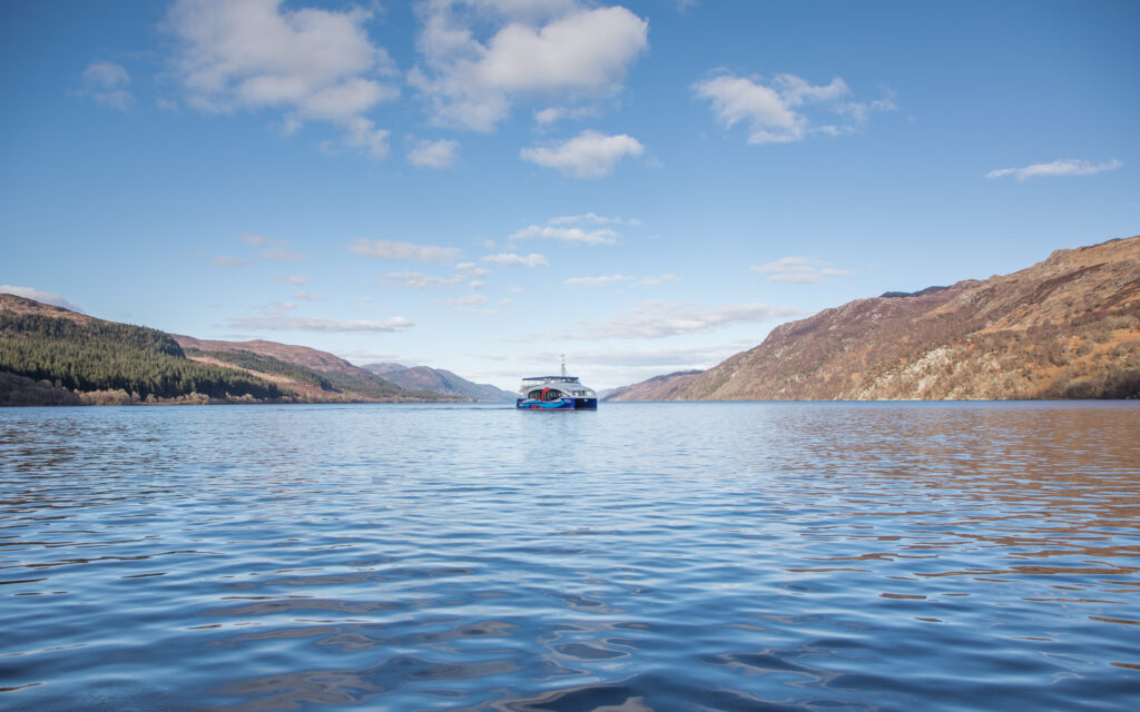
The loch is around 23 miles long, averages 1 mile wide and is 754 feet deep. That is 35 kilometres long, 1.5 kilometres wide and 230 metres deep. You could put the population of the world into Loch Ness more than three times over and it contains more water than all the lakes, rivers and reservoirs of both England and Wales combined including the whole of the English lake district.
So … there is room for it to conceal a few mysteries.